


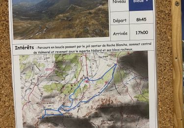
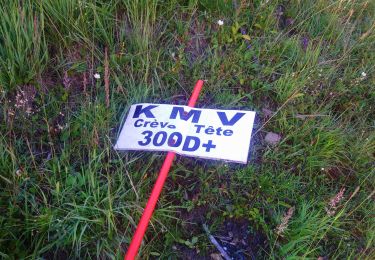
8.2 km | 13.3 km-effort

User


FREE GPS app for hiking
 SityTrail
IGN / Geographical institutes
SityTrail World
The world is yours!
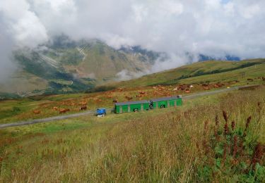
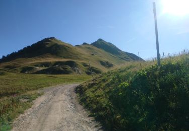
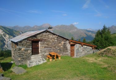
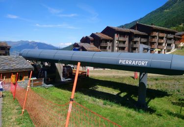
Trail Walking of 3.6 km to be discovered at Auvergne-Rhône-Alpes, Savoy, Les Belleville. This trail is proposed by claude nier.
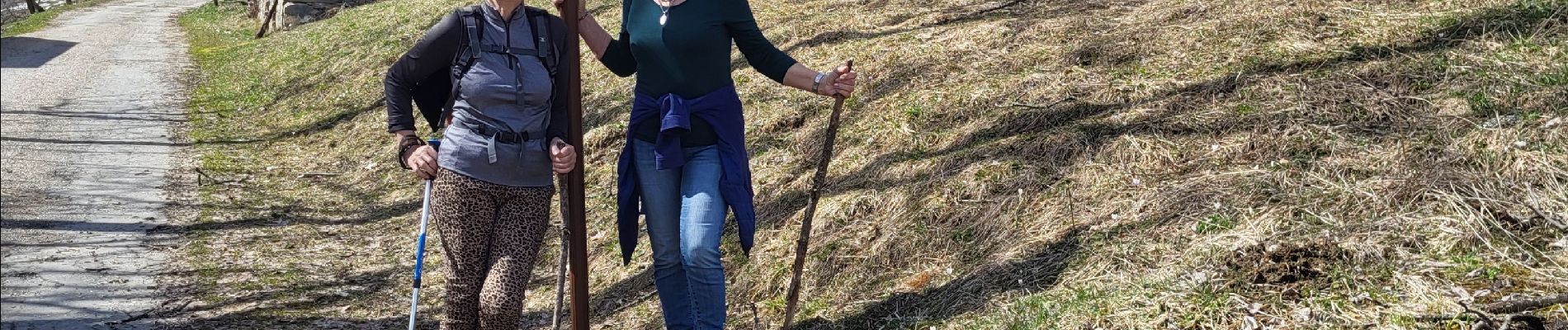
belle rando....le Mt Blanc a côté !!!


Walking
Walking

Walking
On foot
Walking
Trail
Walking
Walking
Walking